The Regulatory Landscape and Airspace Management
The foundation of modern drone operation is the adherence to strict airspace regulations. In the United States, the Federal Aviation Administration (FAA) has pioneered the Low Altitude Authorization and Notification Capability (LAANC), a system that provides drone pilots with access to controlled airspace in real-time. This digital integration has replaced the manual, weeks-long waiver process of the past, making applications that interface with LAANC indispensable.
Aloft (formerly Kittyhawk) and B4UFLY represent the gold standard in this category. While B4UFLY was originally developed as a standalone safety tool by the FAA, its integration with the Aloft platform has created a comprehensive situational awareness engine. These applications provide "Safety Maps" that highlight temporary flight restrictions (TFRs), such as those surrounding major sporting events, presidential movements, or wildfire suppression efforts. For a pilot, ignoring these maps can lead to civil penalties exceeding $20,000 and the potential revocation of Part 107 certifications.
AirMap, another titan in the sector, offers a robust global interface. Beyond simple "no-fly zone" indicators, AirMap provides high-resolution data on local ordinances and international airspace classifications. As of 2024, the integration of Remote ID (RID) technology into these apps has become a focal point. Remote ID serves as a "digital license plate" for drones, allowing authorities to identify the location and serial number of a UAV in flight. Applications that help pilots verify their RID status and broadcast capability are no longer optional; they are a legal necessity in most developed jurisdictions.
Meteorological Precision and Environmental Analysis
Weather is the single most significant external variable in drone aviation. Unlike commercial aircraft that fly above most weather patterns, drones operate within the planetary boundary layer, where wind shear, turbulence, and microclimates are most volatile. Professional pilots rely on UAV Forecast, an application that transcends basic weather reporting. It provides specific metrics such as the "Kp-index," which measures geomagnetic activity. High Kp-index levels can interfere with GPS signals, causing "toilet bowl" effects where a drone loses its positional hold and begins to spiral uncontrollably.
UAV Forecast also provides wind speeds at specific altitudes. While surface winds may be calm at five feet, they can exceed 30 mph at a 400-foot ceiling, potentially exceeding the motor capacity of consumer-grade drones like the DJI Mini series. Complementing this is Windy.com, a tool favored for its visual representation of global wind currents and pressure systems. By utilizing European Centre for Medium-Range Weather Forecasts (ECMWF) models, Windy allows pilots to predict "weather windows"—short periods of calm between storms—essential for high-stakes commercial shoots.
Advanced Mission Planning and Photogrammetry
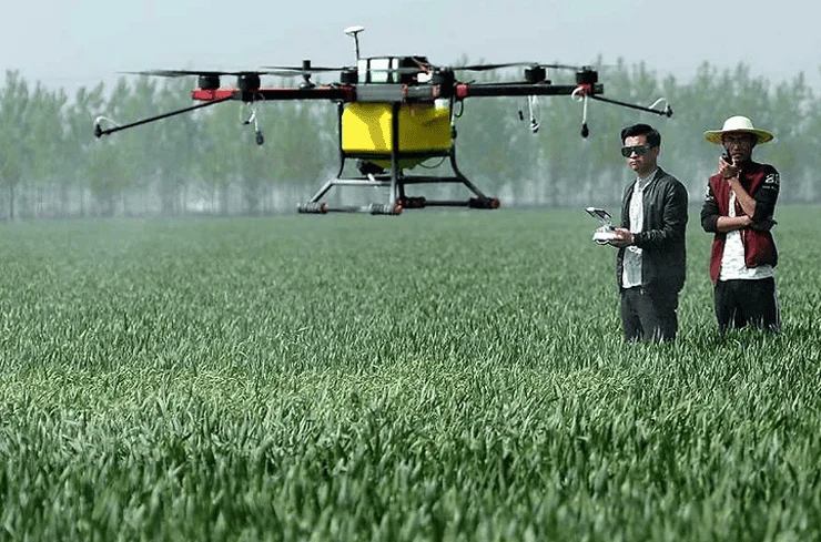
The transition from "flying for fun" to "flying for data" is facilitated by mission planning software. DroneDeploy and Pix4D have revolutionized industries like construction and agriculture by allowing for automated flight paths. Instead of a pilot manually toggling joysticks, these apps take control of the drone’s flight controller to fly a precise grid pattern, capturing hundreds of overlapping photos. These images are then stitched together using cloud computing to create 3D models (Digital Twins) or orthomosaic maps with centimeter-level accuracy.
For the enterprise sector, this is the primary value proposition of drones. In agriculture, apps like DroneDeploy utilize Near-Infrared (NIR) sensors to calculate the Normalized Difference Vegetation Index (NDVI), providing farmers with a heatmap of crop health. The ability to automate these flights ensures repeatability—a pilot can fly the exact same path every week to monitor the progress of a skyscraper’s construction or the growth of a vineyard.
The Hardware-Software Interface: Proprietary and Third-Party Control
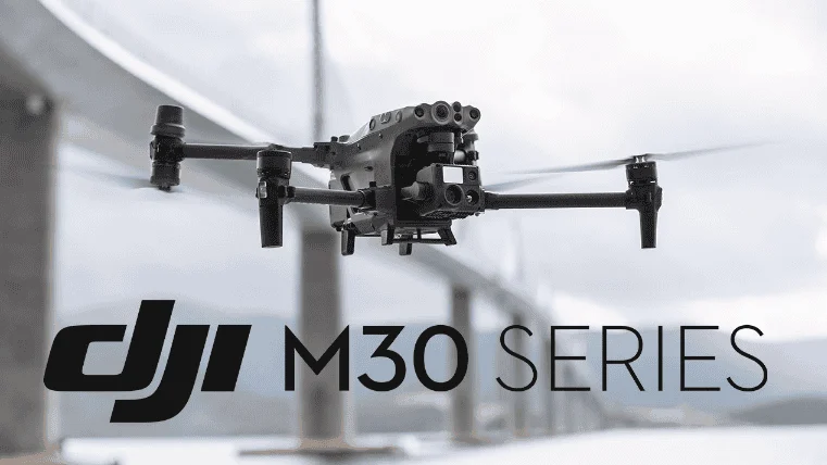
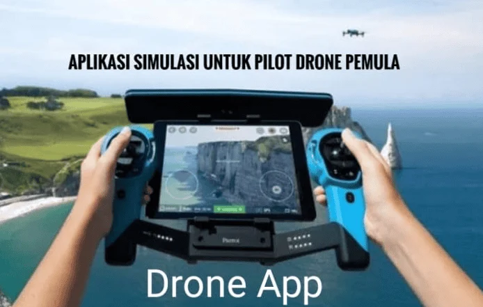
While hardware manufacturers like DJI, Autel, and Skydio provide native apps—such as DJI Fly and DJI Pilot 2—the professional community often turns to third-party alternatives for expanded functionality. Litchi is perhaps the most famous example. It offers "Waypoint" missions and "Orbit" modes for older drone models that may lack these features natively. More importantly, Litchi allows pilots to plan missions on a desktop computer at home and sync them to their mobile device, ensuring that when they arrive on-site, the drone performs exactly as intended without the need for field-side troubleshooting.
Autel Explorer serves a similar role for the Autel Evo series, often preferred by pilots who wish to avoid the "geofencing" restrictions implemented by DJI. The debate between proprietary and third-party software often centers on "Fly Safe" databases. While DJI’s geofencing prevents drones from entering airports, it can also prevent legitimate, authorized flights in complex areas. This has led to a rise in the use of open-source or unrestricted flight apps among search and rescue (SAR) teams who cannot afford software-based delays during an emergency.
Post-Flight Logistics and Content Optimization
The utility of a drone does not end when the batteries are depleted. The data captured must be processed and shared. For content creators, the "Golden Hour" is the peak time for cinematography. PhotoPills and Sun Surveyor are critical for this stage. These apps use augmented reality (AR) to show the pilot exactly where the sun or moon will be at a specific time of day relative to the landscape. A pilot can stand in a field at noon and see exactly where the sun will set behind a mountain, allowing them to return at the perfect moment for a cinematic shot.
On the editing front, the rise of mobile-first social media has made apps like CapCut and Adobe Premiere Rush essential. These allow for the immediate transfer of 4.4K footage from the drone to a smartphone for rapid editing and deployment. Furthermore, Google Earth Pro remains an underrated tool for pre-flight "scouting." By utilizing its 3D terrain view, pilots can identify potential obstacles like power lines or high-rise buildings before they even leave their office.
Industry Analysis: The Shift Toward Unified Ecosystems
Industry analysts observe that the drone software market is moving toward "unified ecosystems." In the past, a pilot might have used five different apps for one flight. Today, we are seeing the emergence of "all-in-one" platforms. The implication of this shift is profound: as software becomes more integrated, the barrier to entry for professional-grade aerial data collection lowers, but the requirement for digital literacy increases.
Statements from organizations like the Commercial Drone Alliance emphasize that the future of the industry depends on "detect and avoid" technology integrated directly into these apps. As the FAA moves toward allowing Beyond Visual Line of Sight (BVLOS) flights, the software will need to handle not just where the drone is, but where every other aircraft in the vicinity is located. This will likely lead to a subscription-based model for drone apps, where pilots pay for real-time data feeds from air traffic control.
Conclusion and Safety Implications
In summary, the role of a drone pilot has evolved from a manual operator to a digital systems manager. The "essential apps" discussed—ranging from Aloft for legal compliance to UAV Forecast for environmental safety and DroneDeploy for commercial utility—form a necessary digital toolkit.
The broader impact of these technologies is a significant reduction in aerial accidents. Data from the FAA suggests that as LAANC and situational awareness apps have become mainstream, the rate of "near-misses" with manned aircraft has stabilized despite the exponential growth in drone registrations. For the pilot, these apps provide more than just convenience; they provide a "digital shield" against the legal and physical risks of the sky. As we look toward a future of autonomous delivery drones and urban air mobility, the software on a pilot’s smartphone will remain the most critical component of the flight deck, ensuring that the skies remain safe, orderly, and productive for all users.