The Evolution of Drone Software and Regulatory Compliance
The transition from basic remote-controlled aircraft to autonomous, data-gathering UAVs has been marked by a tightening of global aviation regulations. In the United States, the Federal Aviation Administration (FAA) implemented the Part 107 framework, while the European Union Aviation Safety Agency (EASA) established standardized categories for drone operations. These regulations mandate that pilots maintain situational awareness of controlled airspace, temporary flight restrictions (TFRs), and "no-fly zones" around sensitive infrastructure.
The development of the Low Altitude Authorization and Notification Capability (LAANC) represented a turning point in drone software. LAANC provides drone pilots with access to controlled airspace at or below 400 feet and gives air traffic professionals visibility into where and when drones are operating. This integration of digital tools into the national airspace system has made applications like AirMap and Aloft (formerly Kittyhawk) indispensable for both recreational and commercial operators.
Navigational Integrity and Airspace Awareness
The primary challenge for any drone pilot is identifying where it is legal to fly. Airspace is a complex, three-dimensional puzzle of restricted areas, military operating zones, and local ordinances.
1. Aloft (formerly Kittyhawk) and AirMap
Aloft has emerged as a leader in the industry, particularly for its seamless integration with the FAA’s LAANC system. It allows pilots to request near-instant authorization to fly in controlled airspace. Beyond authorization, it provides a robust flight logging system, which is critical for commercial pilots who must maintain records for insurance and regulatory audits. Similarly, AirMap provides real-time information regarding nearby manned aircraft, ensuring that drone pilots can adhere to the fundamental rule of "see and avoid."
2. B4UFLY
While primarily focused on the United States, the B4UFLY app—a collaboration between the FAA and private industry—serves as a simplified gateway for pilots to check their immediate surroundings. It uses a clear color-coded system to indicate whether flight is permitted, restricted, or requires special authorization. For international pilots, similar applications such as Drone Assist in the UK or Wing Aviation’s OpenSky provide localized data that is essential for maintaining legal compliance.
Meteorological Precision: The Science of Safe Flight
Unlike commercial airliners that fly above the weather, drones operate within the most turbulent and unpredictable layers of the atmosphere. Wind shear, gusts, and electromagnetic interference are the leading causes of "flyaways" and hardware failure.
3. UAV Forecast: The Industry Standard
UAV Forecast is widely considered the most critical tool for pre-flight safety. It goes beyond simple temperature readings, providing data on "wind at altitude." While surface winds might be calm, the wind at 200 or 400 feet can be significantly stronger, potentially exceeding the drone’s motor capabilities.
Furthermore, the app tracks the Kp-index, which measures geomagnetic activity. High Kp-index levels, often caused by solar flares, can interfere with the GPS and GLONASS satellite signals that drones rely on for stability and "return-to-home" functions. A pilot ignoring a high Kp-index risks losing the drone to a localized GPS blackout.
4. Windy.com
For long-term mission planning, Windy.com offers sophisticated meteorological visualizations. Professional cinematographers use Windy to track pressure systems and cloud cover, allowing them to predict "golden hour" conditions or identify windows of calm weather in coastal regions where wind patterns change rapidly.
Professional Mission Planning and Photogrammetry
For pilots involved in agriculture, construction, and surveying, the drone is a data-collection tool. Manual flight is often too imprecise for these high-stakes industries, leading to the rise of automated mission-planning software.
5. DroneDeploy and Pix4D
These applications transform a standard drone into a mapping powerhouse. A pilot can define an area on a map, and the software will automatically calculate the flight path, overlap, and altitude required to create a high-resolution 2D map or 3D model. In the construction sector, this technology is used for volumetric measurements of stockpiles, while in agriculture, it helps in assessing crop health via multispectral imaging.
6. Litchi: The Power of Waypoints
For pilots using DJI hardware who find the official software limiting, Litchi offers advanced waypoint flying. This allows for the pre-programming of complex flight paths that the drone can execute autonomously. This is particularly useful for time-lapse photography or repeated inspections where the drone must follow the exact same path every week to track progress on a site.
Mastering the Visuals: Cinematography and Post-Processing
A successful flight often culminates in the production of high-quality visual content. The transition from the SD card to the final edit is supported by a specific category of "creative" apps.
7. PhotoPills and Sun Surveyor
Professional drone photography is as much about timing as it is about flying. PhotoPills allows pilots to use augmented reality (AR) to see exactly where the sun or moon will be at a specific time. This enables a pilot to arrive at a location and know exactly where to position the drone to capture a sunset perfectly aligned with a landmark.
8. Mobile Editing Suites: CapCut and Adobe Premiere Rush
With the rise of social media and real-time reporting, the ability to edit 4K drone footage on-site is a competitive advantage. Adobe Premiere Rush provides a desktop-class editing experience on a tablet, allowing for color grading and sound design immediately after landing. CapCut, meanwhile, has become the tool of choice for rapid content creation, offering stabilized templates and AI-driven features that complement the smooth motion of drone gimbals.
Industry Impact and Safety Implications
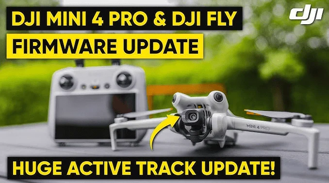
The integration of these applications into the pilot’s workflow has had a measurable impact on aviation safety. According to industry data, the number of accidental airspace incursions has seen a relative stabilization despite the exponential increase in drone sales. This is attributed to the "geofencing" technology integrated into apps like DJI Fly, which prevents drones from taking off near airports without explicit unlocking.
Industry experts and flight safety officers emphasize that "digital literacy" is now as important as "stick-and-rudder" skills. In a statement reflecting the current industry sentiment, safety analysts suggest that 90% of drone accidents are preventable through better pre-flight data assessment. The use of weather and airspace apps acts as a "digital co-pilot," providing a layer of redundancy that human observation alone cannot match.
Future Outlook: The Rise of Autonomous Traffic Management
Looking forward, the role of mobile applications will expand further with the implementation of Remote ID—often described as a "digital license plate" for drones. Future apps will likely integrate directly with Unmanned Aircraft System Traffic Management (UTM) networks. This will allow drones to communicate with each other and with manned aircraft autonomously, further reducing the risk of mid-air collisions.
As AI becomes more integrated into mobile processors, we can expect apps to offer real-time hazard detection, such as identifying power lines or birds that are difficult for a pilot to see through a small screen. The "smart" pilot of the future will be an orchestrator of multiple software platforms, ensuring that every second of flight is accounted for, authorized, and optimized.
Conclusion
The modern drone pilot operates at the intersection of aviation, technology, and digital artistry. The "essential apps" discussed here are not merely optional extras; they are the fundamental tools that ensure the sky remains a safe and productive environment for all. By mastering navigation through Aloft, monitoring the atmosphere via UAV Forecast, and perfecting the shot with PhotoPills, pilots elevate their practice from a casual pastime to a professional standard. As the technology continues to evolve, the reliance on these digital tools will only deepen, making it imperative for every operator to stay informed, updated, and connected. Flying safe and flying smart is no longer a suggestion—in the modern era of the drone, it is the only way to fly.