The global Unmanned Aerial Vehicle (UAV) market has undergone a seismic shift over the last decade, transitioning from a niche hobbyist pursuit into a multi-billion dollar industry spanning agriculture, construction, cinematography, and public safety. As the complexity of drone technology increases, so too does the reliance on sophisticated software to manage the myriad risks associated with low-altitude flight. Operating a drone without the support of a dedicated digital ecosystem is increasingly viewed by industry experts as a high-risk endeavor, comparable to operating a motor vehicle without mirrors or navigation tools. To achieve safety, efficiency, and professional-grade results, pilots must now integrate a suite of essential applications into their pre-flight, in-flight, and post-flight workflows.
The Regulatory Landscape and the Necessity of Navigational Awareness
The primary challenge for any drone pilot, whether amateur or professional, is navigating the increasingly crowded and regulated global airspace. With the Federal Aviation Administration (FAA) in the United States, EASA in Europe, and various civil aviation authorities worldwide tightening restrictions, the "fly anywhere" era has officially ended. Today, the integration of Remote ID and Low Altitude Authorization and Notification Capability (LAANC) has made software compliance a mandatory aspect of flight.
AirMap has long been a cornerstone of this digital infrastructure. By providing real-time data on temporary flight restrictions (TFRs), controlled airspace, and proximity to airports, it allows pilots to maintain situational awareness that would be impossible to achieve manually. Furthermore, the application’s ability to facilitate digital flight authorizations in regions integrated with LAANC has revolutionized how commercial pilots interact with air traffic control.
Similarly, the B4UFLY app—originally developed by the FAA and now powered through partnerships with private entities like Aloft—serves as a critical first line of defense against regulatory violations. While its primary focus is the United States, its methodology has set a global standard for "Know Before You Fly" initiatives. These applications do more than just show a map; they interpret complex aviation charts into user-friendly interfaces, ensuring that a pilot does not inadvertently enter a "No Fly Zone" (NFZ), which could result in heavy fines or the confiscation of equipment.
Industrial Precision and the Rise of Photogrammetry
For professional pilots working in the enterprise sector, drones are no longer just flying cameras; they are data collection tools. This is where applications like DroneDeploy have become indispensable. The shift from manual flight to automated, mission-based flight is a hallmark of modern industrial drone use. DroneDeploy allows users to plan flight paths that ensure consistent overlap and altitude, which is essential for creating high-resolution 2D maps and 3D models.
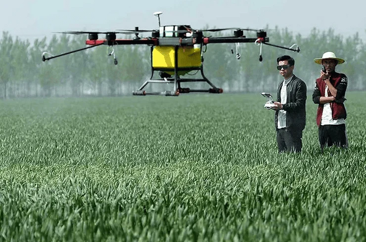
This technology is currently being utilized in the construction industry to track progress and in agriculture to monitor crop health via multispectral imaging. By automating the flight path, the software removes human error from the equation, ensuring that every square meter of a survey site is captured with mathematical precision. The implications of this are vast: what used to take weeks of ground-based surveying can now be accomplished in a matter of hours, significantly reducing overhead costs and improving safety on hazardous job sites.
Meteorological Science in UAV Operations
Weather remains the single most volatile factor in drone aviation. Unlike commercial airliners that fly above most weather systems, drones operate in the planetary boundary layer, where wind gusts, thermals, and micro-climates are most unpredictable. Professional pilots emphasize that checking a standard weather app is insufficient for flight safety.
UAV Forecast is widely regarded as the gold standard for drone-specific meteorology. Beyond simple temperature and rain forecasts, it provides data on the "K-Index," which measures geomagnetic interference. High solar activity can disrupt GPS signals and compass calibration, leading to "flyaways" or loss of control. Furthermore, the app provides wind speeds at specific altitudes, acknowledging that wind at 100 meters is often significantly stronger than at ground level.
Windy.com offers a complementary service, providing high-resolution visualisations of wind shear and pressure systems. For pilots operating in coastal regions or mountainous terrain, understanding the direction of wind gusts is critical for battery management. Fighting a headwind on the return leg of a flight can deplete a battery far faster than anticipated, leading to forced landings in inaccessible areas.
Control Ecosystems and the Advantage of Third-Party Software
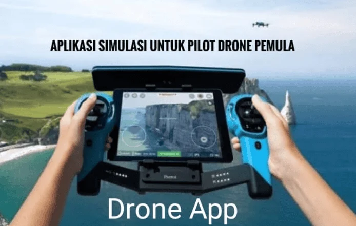
While hardware manufacturers like DJI and Autel provide robust native applications—such as DJI Fly, DJI GO 4, and Autel Explorer—there is a growing trend toward using third-party control software for specialized missions. The native apps are excellent for general cinematography and basic flight telemetry, offering features like "ActiveTrack" and "QuickShots" that simplify complex maneuvers for the average user.
However, power users often turn to Litchi. This application is famed for its "Waypoint" missions, which allow pilots to pre-program a flight path on a desktop computer before even arriving at the location. Litchi’s ability to execute missions with incredible repeatability makes it a favorite for time-lapse creators and cinematographers who need to capture the exact same movement at different times of the day or across different seasons. The use of such software represents a transition from "piloting" to "mission management," where the focus shifts from the sticks to the strategy.
Post-Production and the Art of Aerial Planning
The workflow of a drone pilot does not end when the aircraft lands. In fact, for many, the landing is just the beginning of the creative process. Tools like Google Earth have become fundamental for pre-flight scouting. By using 3D terrain views, pilots can identify potential obstacles, such as power lines or tall buildings, and plan their shots to take advantage of the local topography without wasting battery life on-site.
For cinematographers, timing is everything. Applications like Sun Surveyor and PhotoPills allow pilots to predict the exact position of the sun or moon at any given time. This is crucial for capturing the "Golden Hour"—that window of soft, directional light that elevates a standard aerial shot into a cinematic masterpiece. Knowing exactly where a shadow will fall on a building at 5:30 PM allows a pilot to be in the air at the precise moment required, maximizing the efficiency of the flight.
Once the footage is captured, mobile editing suites like CapCut and Adobe Premiere Rush have democratized the production process. The ability to offload high-definition proxies to a smartphone and edit a professional-looking reel while still in the field has changed the pace of social media journalism and real estate marketing.
Analysis of Implications: Safety, Economy, and Future Integration
The integration of these applications into standard operating procedures has profound implications for the future of the drone industry. Data from various aviation safety boards suggests that a significant majority of drone-related incidents are the result of pilot error, specifically a lack of situational awareness regarding weather or airspace restrictions. As these applications become more intuitive and integrated, the barrier to entry for safe flight is lowered.
From an economic perspective, the efficiency gained through apps like DroneDeploy and Litchi is driving the adoption of drones in traditional industries. The ROI (Return on Investment) for a drone program is often calculated based on the speed of data acquisition, which is directly tied to the quality of the software used.
Looking forward, we are moving toward an era of "U-Space," where drones will be fully integrated into the broader air traffic management system. In this future, the applications discussed today will likely evolve into mandatory, always-on flight management systems. We may see a shift where the drone’s onboard AI communicates directly with these apps to make real-time decisions about weather hazards or airspace incursions without pilot intervention.
Conclusion
Becoming a proficient drone pilot in the modern era requires a dual mastery of hardware and software. The stich-and-rudder skills of flying are now supplemented by a complex digital landscape that ensures every flight is conducted within the bounds of safety and legality. By leveraging navigational tools like AirMap, meteorological data from UAV Forecast, and the creative precision of PhotoPills, pilots are able to mitigate the inherent risks of aviation while pushing the boundaries of what is possible from a bird’s-eye view.
As the technology continues to mature, the "essential" nature of these applications will only grow. For the professional, they are the tools of the trade; for the hobbyist, they are the guardians of safety. In either case, the message is clear: in the world of modern UAVs, the most important part of your gear may not be the drone itself, but the software that empowers it to fly.