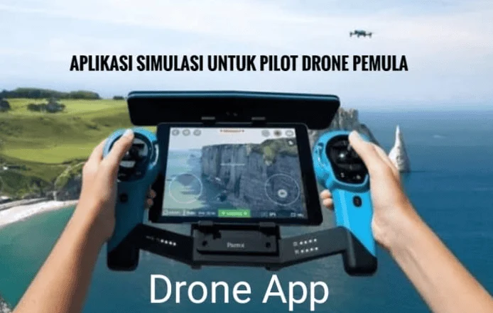
The integration of mobile technology into Unmanned Aerial Vehicle (UAV) operations has transformed drone piloting from a recreational hobby into a sophisticated professional discipline. In the current aviation landscape, flying a drone without the support of specialized software is increasingly viewed as a high-risk endeavor, comparable to operating a vehicle without safety instrumentation. The emergence of "essential applications for drone pilots" represents a critical shift toward safety, efficiency, and regulatory compliance. These digital tools serve as the bridge between hardware capabilities and the complex requirements of national airspaces, providing real-time data on weather patterns, flight restrictions, and technical telemetry.
As the global drone market continues its rapid expansion—projected to reach a valuation of over $54 billion by 2030—the reliance on software ecosystems has become absolute. Whether for commercial inspections, agricultural mapping, or high-end cinematography, the modern pilot must master a suite of applications to ensure that every takeoff is preceded by a comprehensive risk assessment.
The Evolution of Drone Software: A Chronological Overview
The history of drone applications reflects the rapid maturation of the UAV industry itself. In the early 2010s, drone operation was largely manual, relying on radio frequencies and visual line-of-sight (VLOS) with minimal digital assistance.
- 2010–2013: The Era of Basic Connectivity. Early drone adopters used rudimentary software primarily for firmware updates. Control was almost entirely hardware-dependent.
- 2014–2016: The Rise of Integrated Flight Apps. With the release of the DJI Phantom series, proprietary apps like DJI GO began to offer live video feeds and basic telemetry, such as altitude and battery life.
- 2017–2019: Regulatory Integration. As the Federal Aviation Administration (FAA) in the United States and the European Union Aviation Safety Agency (EASA) introduced stricter regulations, apps like B4UFLY and AirMap emerged to provide airspace situational awareness.
- 2020–Present: The Ecosystem of Professionalism. Current applications now utilize Artificial Intelligence (AI) for automated flight paths, advanced 3D mapping, and real-time Low Altitude Authorization and Notification Capability (LAANC) approvals.
Navigational Safety and Airspace Awareness
The most significant hurdle for any drone pilot is the legal and safe navigation of shared airspace. The sky is no longer an open frontier; it is a structured environment populated by commercial airliners, emergency helicopters, and other UAVs.
AirMap and the LAANC Framework
AirMap has established itself as a cornerstone of the professional pilot’s toolkit. Its primary value lies in its ability to provide high-resolution airspace data. For pilots operating in the United States, AirMap’s integration with LAANC allows for near-instantaneous authorization to fly in controlled airspace near airports—a process that previously took weeks of manual paperwork. The app provides visual overlays of Temporary Flight Restrictions (TFRs), which are often enacted for sporting events, VIP movements, or emergency response operations.
B4UFLY: The Standard for Compliance
Originally developed as a collaboration between the FAA and private partners, B4UFLY serves as a simplified "go/no-go" indicator. It uses a color-coded system to inform pilots of their legal standing in a specific GPS coordinate. In regions like Indonesia, while local versions are in development, B4UFLY remains a conceptual benchmark for how pilots should verify safety before engaging motors.
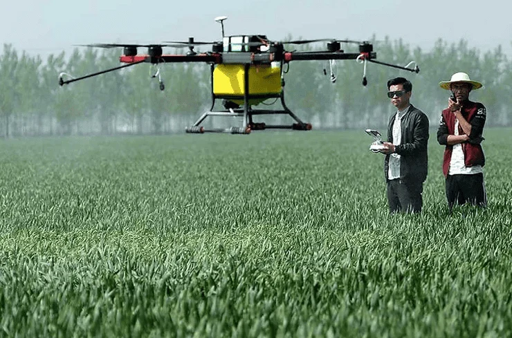
DroneDeploy for Industrial Precision
For those in the construction and agricultural sectors, DroneDeploy represents the pinnacle of mission planning. Unlike recreational apps, DroneDeploy allows pilots to define a perimeter on a map, after which the software automatically calculates the optimal flight path, altitude, and overlap for high-quality photogrammetry. This automation reduces human error and ensures that the data collected is scientifically viable for 3D modeling or crop health analysis.
Meteorological Forecasting and Environmental Risk Mitigation
Drones are inherently sensitive to atmospheric conditions. A sudden gust of wind or a drop in temperature can lead to catastrophic hardware failure or a "flyaway" event.
UAV Forecast: The Pilot’s Pre-Flight Briefing
UAV Forecast is widely considered the gold standard for drone-specific weather reporting. Unlike standard weather apps, it focuses on variables that specifically impact small aircraft. This includes the "K-index," which measures geomagnetic activity. High K-index levels can interfere with GPS signals, causing a drone to lose its position-holding capabilities. Furthermore, the app provides wind speed data at various altitudes, acknowledging that wind at 100 meters is often significantly stronger than at ground level.
Windy: Advanced Visual Data
For long-range planning, Windy offers a sophisticated visualization of global wind patterns and pressure systems. Professional cinematographers use Windy to predict "weather windows"—short periods of calm air that allow for the stable, vibration-free footage required for high-end productions.
Flight Control and Proprietary Ecosystems
While third-party apps provide safety and weather data, the primary interface between the pilot and the machine usually remains the manufacturer’s software.
The DJI Suite: Fly, GO 4, and Pilot
As the market leader, DJI’s software ecosystem is the most widely used. The DJI Fly app is tailored for consumer-grade drones like the Mini and Air series, focusing on a streamlined user interface. Conversely, DJI Pilot is designed for enterprise-grade hardware, offering features like thermal imaging overlays and synchronized "fleet management" for large-scale operations.
Litchi: Breaking the Manufacturer’s Constraints
Litchi has gained a massive following by offering features that manufacturers sometimes omit. Its "Waypoint" mode is particularly famous, allowing pilots to program complex, multi-point flight paths on a computer and then execute them autonomously in the field. This is essential for "time-lapse" aerial shots where the drone must follow the exact same path over several months to show the progress of a construction site.
Creative Planning and Post-Production
The utility of drone applications extends beyond the flight itself, touching upon the creative preparation and the final delivery of content.
Sun Surveyor and PhotoPills
Lighting is the most critical element of aerial photography. Sun Surveyor and PhotoPills allow pilots to predict the exact position of the sun and moon at any given time and location. This enables "Golden Hour" planning, ensuring the pilot is in the air exactly when the shadows are longest and the light is warmest, maximizing the aesthetic value of the footage.
Mobile Editing: CapCut and Adobe Premiere Rush
In an era of instant social media reporting, the ability to edit 4K drone footage on-site is invaluable. Applications like CapCut and Adobe Premiere Rush have optimized their mobile engines to handle the high-bitrate files produced by modern drones, allowing for rapid turnaround from flight to publication.
Industry Reactions and Expert Analysis
Aviation experts and regulatory bodies have increasingly praised the adoption of these applications. A spokesperson from the Global UAV Safety Alliance recently noted, "The decrease in mid-air near-misses is directly correlated to the increased use of situational awareness apps. When a pilot has a digital map of the sky in their pocket, the ‘I didn’t know’ excuse for entering restricted airspace becomes obsolete."
Furthermore, insurance companies specializing in drone hull and liability coverage are beginning to offer lower premiums to commercial operators who can prove they use flight logging and weather assessment apps. This data-driven approach to safety is professionalizing the industry, moving it away from its "toy" origins toward a respected sector of civil aviation.
Broader Impact and Future Implications
The proliferation of these essential applications is a precursor to a fully integrated Unmanned Traffic Management (UTM) system. In the near future, it is expected that these apps will not just be "recommended," but legally mandated for all drone hardware. We are moving toward a "connected" sky where every drone broadcasts its position, intent, and pilot credentials via these platforms.
The analysis of current trends suggests that AI integration will be the next major frontier. Future versions of these apps will likely include "predictive maintenance" alerts, using flight data to warn a pilot that a specific motor or battery cell is likely to fail before it actually does.
Conclusion
Becoming a proficient drone pilot in the modern age requires a dual mastery of physical flight skills and digital toolsets. The "essential applications for drone pilots" discussed—ranging from AirMap’s navigational precision to UAV Forecast’s meteorological depth—are no longer optional luxuries. They are the fundamental components of a safe, legal, and professional flight operation.
By leveraging these digital resources, pilots can mitigate risks, adhere to evolving global regulations, and produce higher-quality results. As technology continues to advance, the gap between those who use these tools and those who do not will only widen, defining the difference between a casual hobbyist and a true professional of the skies. For any pilot looking to elevate their craft, the journey begins not with the throttle, but with the app store.