The global unmanned aerial vehicle (UAV) market, valued at approximately USD 30 billion in 2023 and projected to exceed USD 54 billion by 2030, has transitioned from a niche hobbyist community into a critical pillar of modern industry. As drones become integral to sectors such as agriculture, construction, cinematography, and emergency response, the complexity of operating these devices has increased proportionally. For the modern remote pilot, the hardware—the drone itself—is only one half of the equation; the other half is a sophisticated suite of digital tools designed to ensure flight safety, regulatory compliance, and high-quality data acquisition. Navigating the skies without these essential applications is increasingly viewed by aviation experts as a significant risk, comparable to operating a vehicle without a navigation system or safety sensors.
The Evolution of the Drone Ecosystem: A Digital Necessity
The trajectory of drone technology over the last decade has moved from basic radio-controlled aircraft to autonomous, data-gathering computers that fly. In the early 2010s, pilots relied almost exclusively on manual skill and visual line of sight (VLOS). However, as the Federal Aviation Administration (FAA) in the United States and the Directorate General of Civil Aviation (DGCA) in Indonesia have tightened airspace regulations, the need for real-time data has become paramount.
Today’s drone pilot must account for complex variables: temporary flight restrictions (TFRs), geomagnetic interference, localized wind shear, and the proximity of manned aircraft. This necessity has birthed a specialized software market. These applications serve as the interface between the pilot, the machine, and the regulatory environment, providing a layer of situational awareness that was previously impossible for civilian operators.
Airspace Intelligence and Regulatory Compliance
The most critical category of applications for any pilot involves navigation and airspace management. Entering restricted airspace, such as the vicinity of an airport, military installation, or national park, can lead to severe legal repercussions, including heavy fines and the revocation of pilot licenses.
AirMap and the Integration of LAANC
AirMap has long been a cornerstone of the drone community. It provides high-resolution airspace maps that include Class B, C, D, and E airspace boundaries. More importantly, it was among the first to integrate with the Low Altitude Authorization and Notification Capability (LAANC). This system allows professional and recreational pilots to receive near-instantaneous flight authorization from the FAA when flying in controlled airspace. For pilots in regions where AirMap is fully integrated, the app acts as a direct digital bridge to aviation authorities, replacing the weeks-long manual waiver process of the past.
B4UFLY and Safety Awareness
Developed through a partnership between the FAA and private entities, B4UFLY provides a simplified "status indicator" that informs a pilot whether it is safe to fly in their current location. By using GPS positioning, the app cross-references the pilot’s coordinates against a database of restricted zones. While primarily focused on North American airspace, its success has influenced the development of similar apps globally, setting the standard for "check before you fly" protocols.
DroneDeploy for Industrial Application
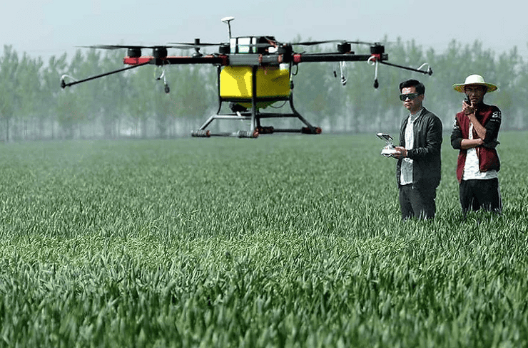
For pilots engaged in professional mapping and surveying, DroneDeploy is the industry standard. It moves beyond simple navigation, allowing pilots to automate flight paths for the purpose of creating 2D maps and 3D models. In the construction sector, DroneDeploy is used to track progress and calculate volumes of material, while in agriculture, it assists in crop health analysis through multispectral imaging. This represents the shift from drones as cameras to drones as precision measurement tools.
Meteorological Precision: Managing the Elements
Weather is the primary cause of non-operator-related drone accidents. High-altitude winds, sudden precipitation, and solar activity can all lead to "flyaways" or total hardware loss.
UAV Forecast: The Pilot’s Pre-Flight Briefing
UAV Forecast is widely considered the most essential weather tool for drone operators. Unlike standard weather apps, it provides specific data points critical to flight:
- Wind Speed at Altitude: Surface wind is often significantly lower than wind at 100 or 400 feet. UAV Forecast allows pilots to check wind speeds at their specific intended flight altitude.
- Satelite Locking (GPS): The app shows how many satellites are visible to the drone, which is vital for maintaining a stable hover and Return-to-Home (RTH) accuracy.
- The K-Index: This measures geomagnetic storms. High K-Index values can interfere with the drone’s internal compass and GPS, leading to erratic behavior. Pilots are generally advised to ground their aircraft if the K-Index exceeds 4 or 5.
Windy.com: Advanced Atmospheric Visualization
While not drone-specific, Windy.com is used by professional pilots for long-term planning. Its use of the European Centre for Medium-Range Weather Forecasts (ECMWF) model provides highly accurate visualizations of wind gusts, rain fronts, and cloud base heights. For a pilot planning a multi-day shoot in a coastal or mountainous area, Windy offers the granularity needed to identify "weather windows" for safe operation.
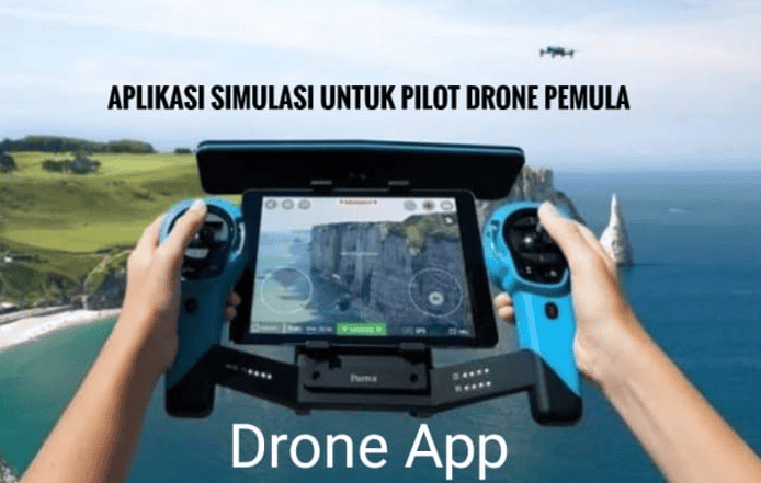
Command, Control, and the DJI Ecosystem
The majority of the global drone market is dominated by DJI, making their proprietary apps the most used control interfaces in the world. However, the choice of app often depends on the specific hardware and the pilot’s objectives.
The DJI Suite: Fly, GO 4, and Pilot
DJI has bifurcated its software to match its hardware tiers. The DJI Fly app is designed for consumer-grade drones like the Mini and Air series, emphasizing a clean interface and ease of use. The DJI GO 4 app remains the standard for older professional platforms like the Phantom 4 Pro. For enterprise-grade drones used in thermal imaging or search and rescue, the DJI Pilot app offers advanced telemetry and dual-operator controls.
Litchi: The Power of Automation
Litchi has emerged as the premier third-party alternative to DJI’s native apps. Its primary advantage is its advanced "Waypoint" mode. Pilots can plan complex flight paths on a desktop computer, including camera angles and gimbal tilts, and then sync them to the app. The drone will then fly the mission autonomously with a level of precision that manual piloting cannot replicate. This is particularly useful for "hyperlapse" photography or repeat-path cinematography used in VFX.
Post-Production and Visual Planning
A successful drone mission is often judged by the quality of the final image or video. Applications that assist in the creative process are therefore indispensable for content creators.
Sun Surveyor and PhotoPills
Lighting is the most critical element of aerial cinematography. Sun Surveyor and PhotoPills allow pilots to predict the exact position of the sun or moon at any given time and location. By using Augmented Reality (AR) overlays, a pilot can stand on a site and "see" where the sun will set, allowing them to schedule their flight for the "Golden Hour" to achieve maximum cinematic impact.
Mobile Editing: CapCut and Adobe Premiere Rush
With the rise of social media and real-time reporting, the ability to edit 4K drone footage on-site is a significant advantage. CapCut has become a favorite for its ease of use and powerful stabilization features, while Adobe Premiere Rush offers a more professional color-grading workflow that syncs with desktop versions of Premiere Pro.
Industry Analysis: The Implications of App Integration
The integration of these applications into the pilot’s workflow has broader implications for aviation safety and industry growth. Aviation analysts note that the "democratization of the skies" poses a challenge to traditional air traffic management. The use of apps like AirMap and B4UFLY is a form of decentralized traffic control.
Furthermore, the upcoming implementation of Remote ID—a "digital license plate" for drones—will rely heavily on app-based communication. Starting in late 2023 and early 2024, most drones in the U.S. and Europe must broadcast identification and location information. This data will be accessible via apps to law enforcement and other pilots, further integrating drones into the "Internet of Things" (IoT).
Chronology of Drone App Development
- 2010–2013: Early drones rely on physical RC transmitters with no screens or very basic OSD (On-Screen Display) telemetry.
- 2014: The launch of DJI GO marks the shift toward using smartphones and tablets as primary flight interfaces.
- 2016: The FAA introduces Part 107 regulations in the US, sparking a surge in demand for airspace awareness apps.
- 2018: LAANC integration begins, allowing for near-instant digital flight authorizations via apps.
- 2021–2023: The rise of "Enterprise" apps focusing on AI-driven thermal analysis and automated 3D reconstruction.
- 2024 and Beyond: Mandatory Remote ID integration and the move toward BVLOS (Beyond Visual Line of Sight) operations managed through 5G-connected applications.
Conclusion: The Professional Standard
Being a proficient drone pilot in the current era requires a multidisciplinary approach. Technical flying skills must be augmented by a deep understanding of the digital tools available. From checking the K-Index on UAV Forecast to securing LAANC authorization on AirMap and planning a sunset shot on PhotoPills, these applications are the invisible infrastructure of the drone industry.
As drone technology continues to evolve, the line between "pilot" and "data manager" will continue to blur. For those looking to enter the field or elevate their professional standing, mastering these essential apps is not merely a recommendation—it is a requirement for safe, legal, and high-quality aerial operations. The sky is no longer a limit, but a complex data environment that requires the right software to navigate successfully.